 When I did my summer trip, after seeing my parents in Spain I went to stay in England and the area where I grew up (a little town near Chester called Neston). As well as seeing friends and family there I wanted to re-establish my connection with the familiar places and especially the walks and the countryside that I remembered from when I lived there (not all that long ago - I don't want to sound too whistfully romantic here!). Neston is near the border with Wales, which is rural and hilly.
Just to give you a sense of the place, I thought I would post some photos of one of these walks; but also there are interesting parallels here between this walk and one that I did in Spain (I wrote about this in an article posted on 6th July). First is the existence of laws of 'right to roam' and 'public right of way' on private land. In the UK there are public footpaths across farmland, which require the farmer to maintain for the common good. Second and even more specifically, for part of this walk, one of the reasons for this public access is that we can follow the line of an old aqueduct. The idea of the common good and access to private land here.
The Spanish aqueduct was built by the Moors, this one was built by the Romans. The Spanish one was in a good state of repair and still used to irrigate olive groves, this has fallen into disrepair and is now a toepath along a muddy ditch in the woods because it is not needed for water any more. My guess here, because you don't need irrigation channels in rainy rural Wales, is that the Roman aqueduct would be used to provide drinking water for a town, perhaps Chester (Roman name Deva). Drinking water supplies have changed - no longer would people drink redirected stream water taken from a mountainside and so there is no reason to have kept it operable.
As you follow the path described below, remember this: the enjoyment and direct contact with farmland and farm animals is possible because of what remains of the traditional application of an idea that comes from Catholic social teaching, that land is a common good. We are crossing privately owned land, but still in the UK there is the understanding that with that privelege comes the responsibility of making it available to all in as way that doesn't stop the owner from cultivating it.
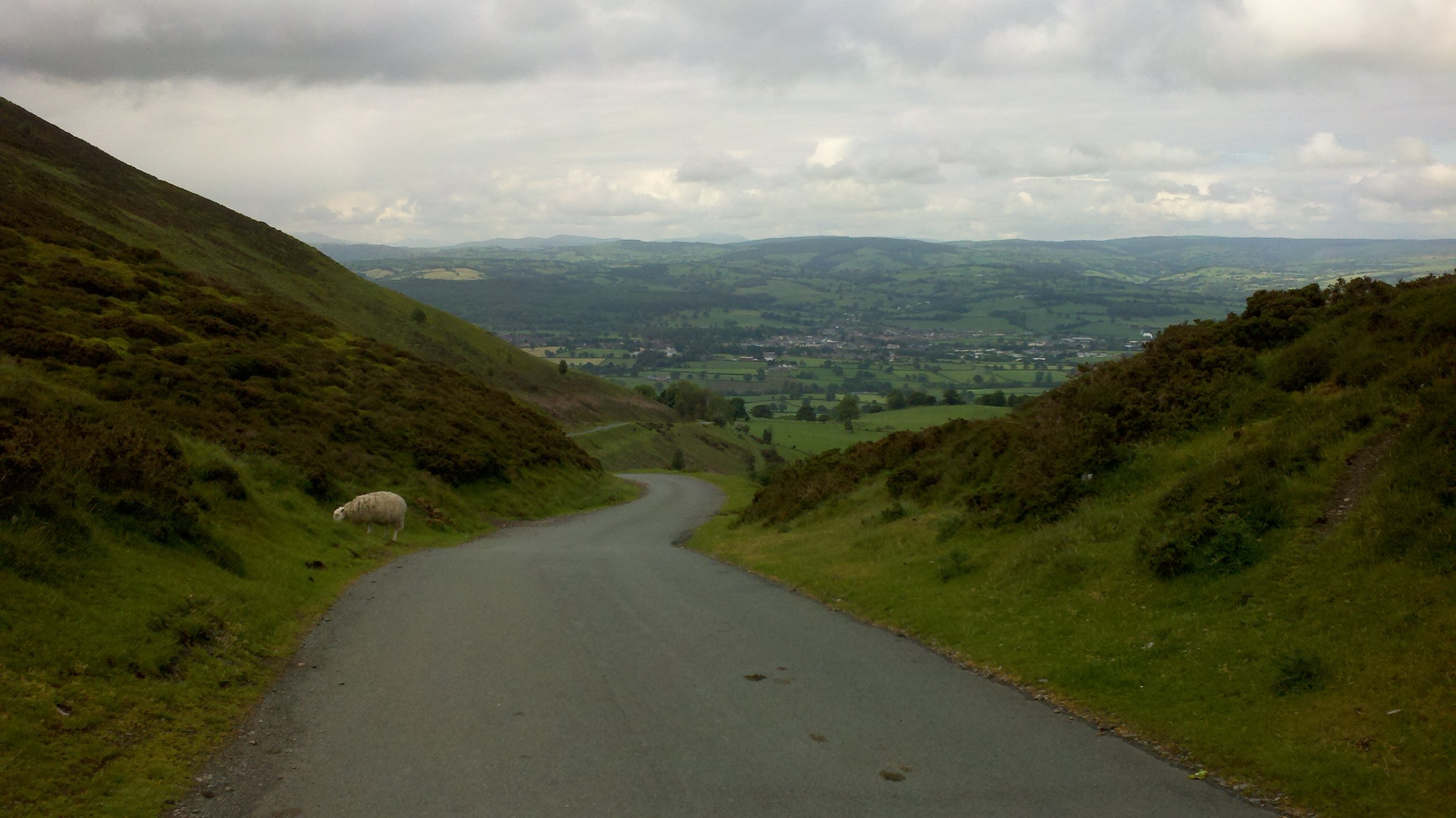
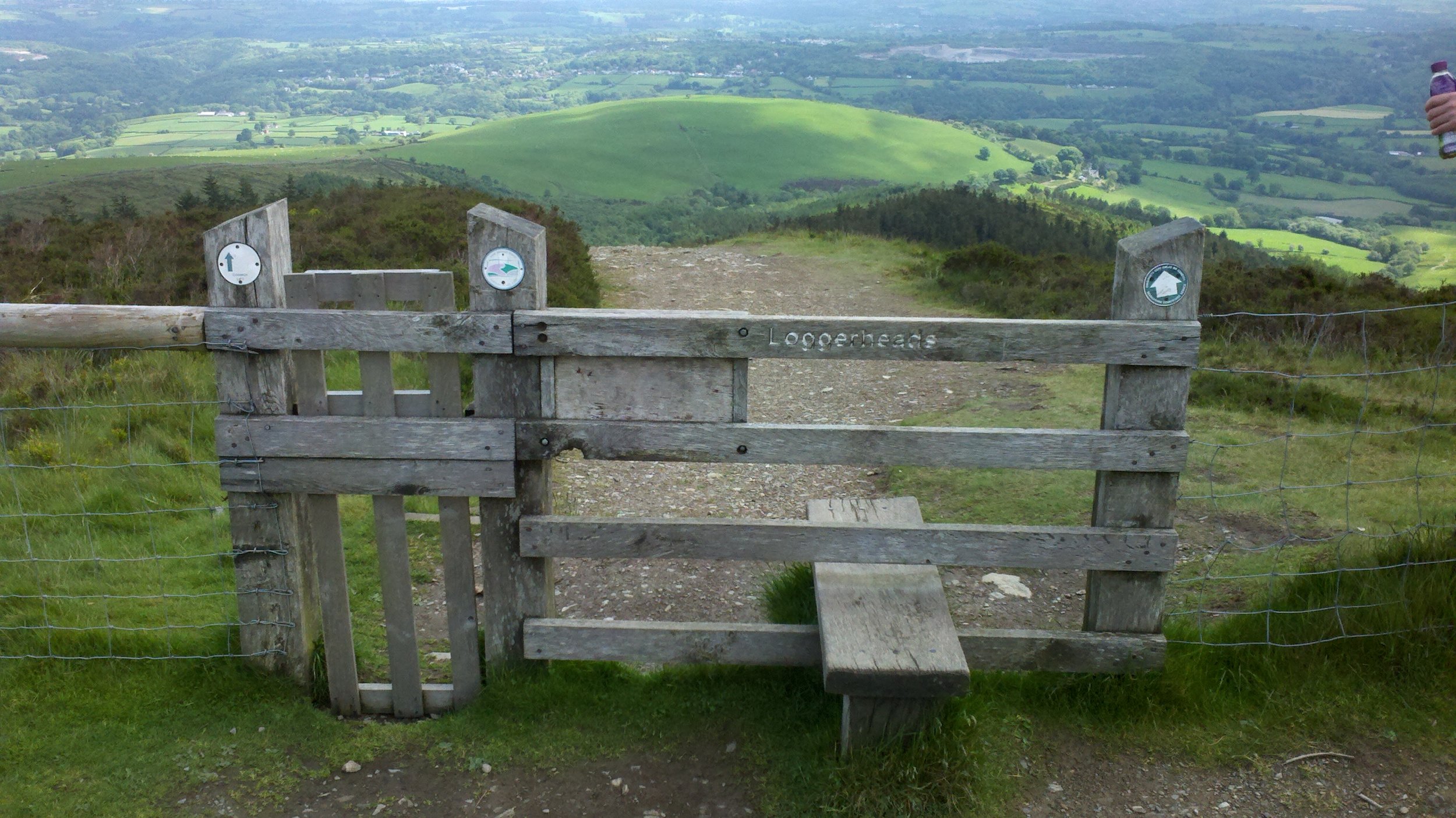
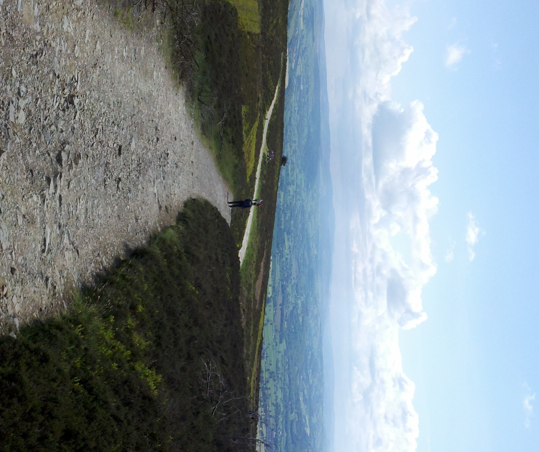
So the first step was for my friend Jim and I to take the car up to a ridge on the Clwyd hills in Wales (pronounced 'clue-id'):
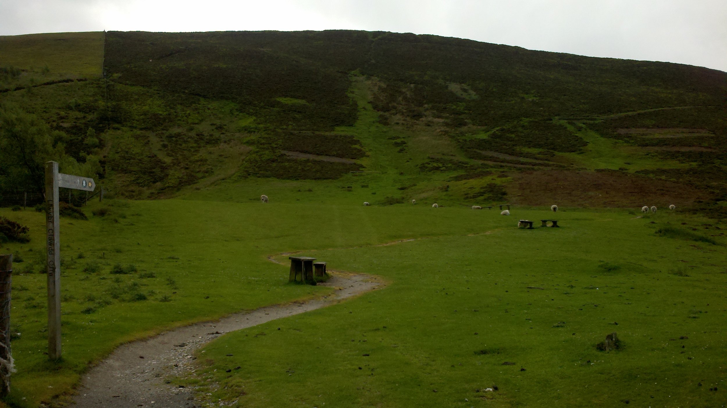
From there the ridge path goes off in two directions, one through grazing sheep:
And the other up a more developed path that takes you up to the highest point on the ridge, Moel Famau (pronounced 'mole vamma') a mountain about 2,000 ft above sea level, so not very high. We took this one. It's a popular destination so the path is well maintained:
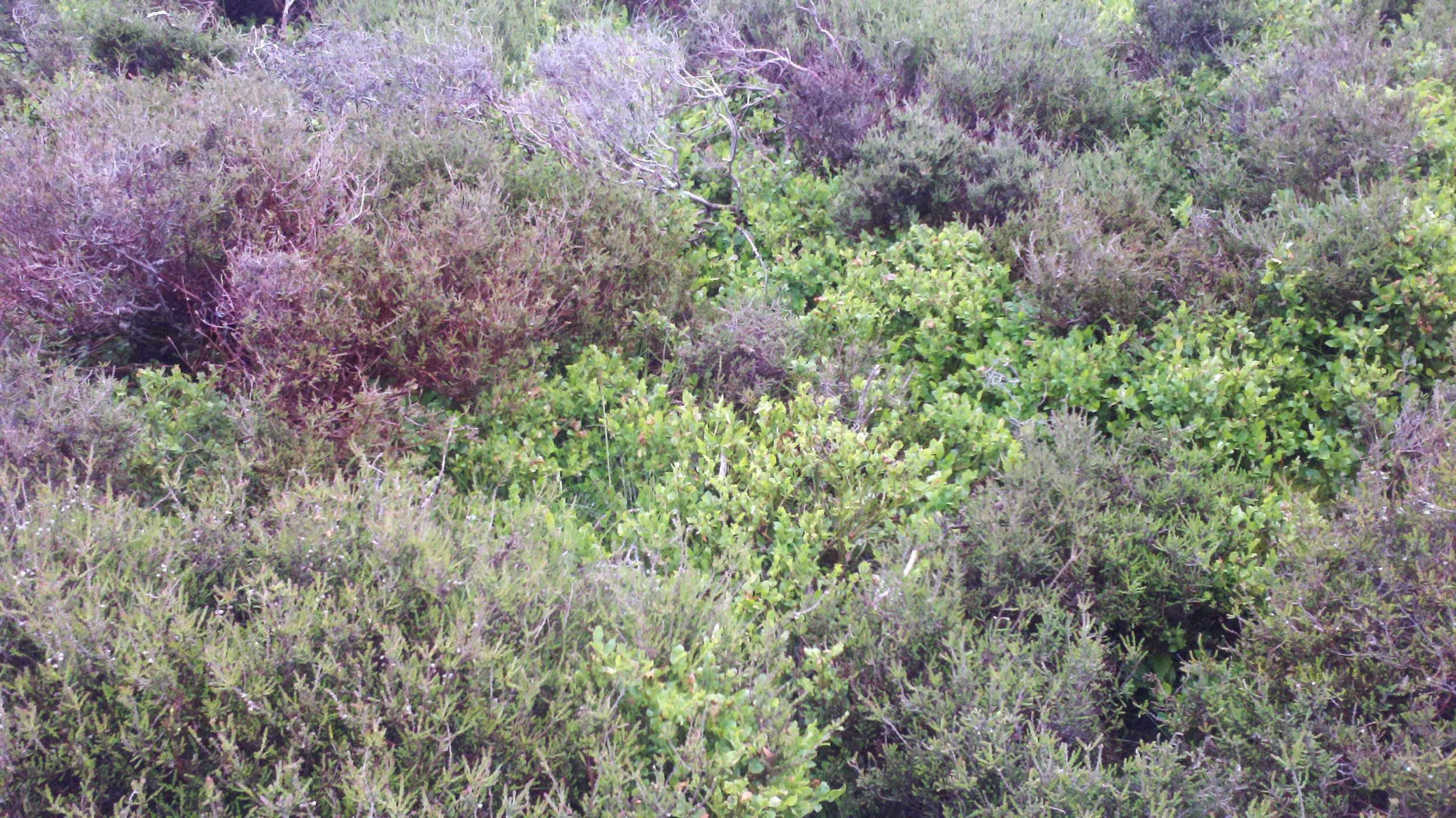
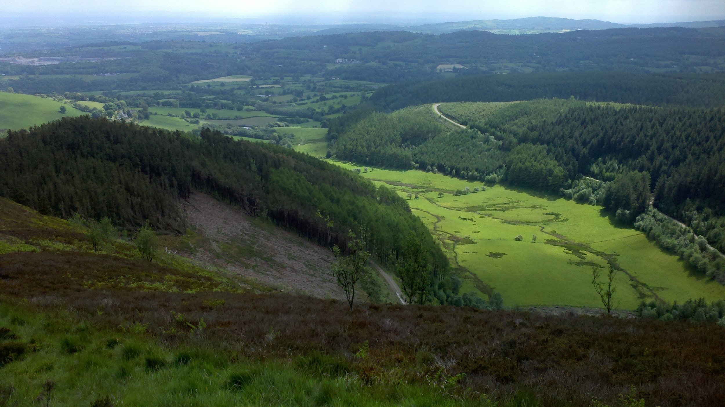
The terrain here is, like the whole of Britain, man created. In this particular area, sheep grazing stops the growth of trees, and this hilly terrain is low woody plants of dark heather (which has bright purple flowers) and lighter billberry (a small and not-so-sweet version of the American blueberry) grows wild here.
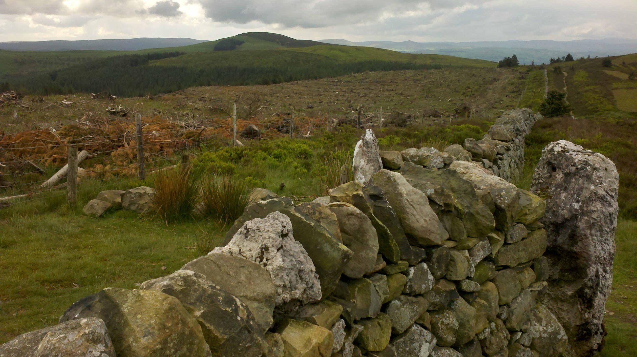
As we look down into the lower parts, some copses and naturally growing trees are allowed to remain, but much of the wooded area is planted for commercial reasons, for wood. There are also bare patches where the trees have been harvested and no ground cover has yet grown.
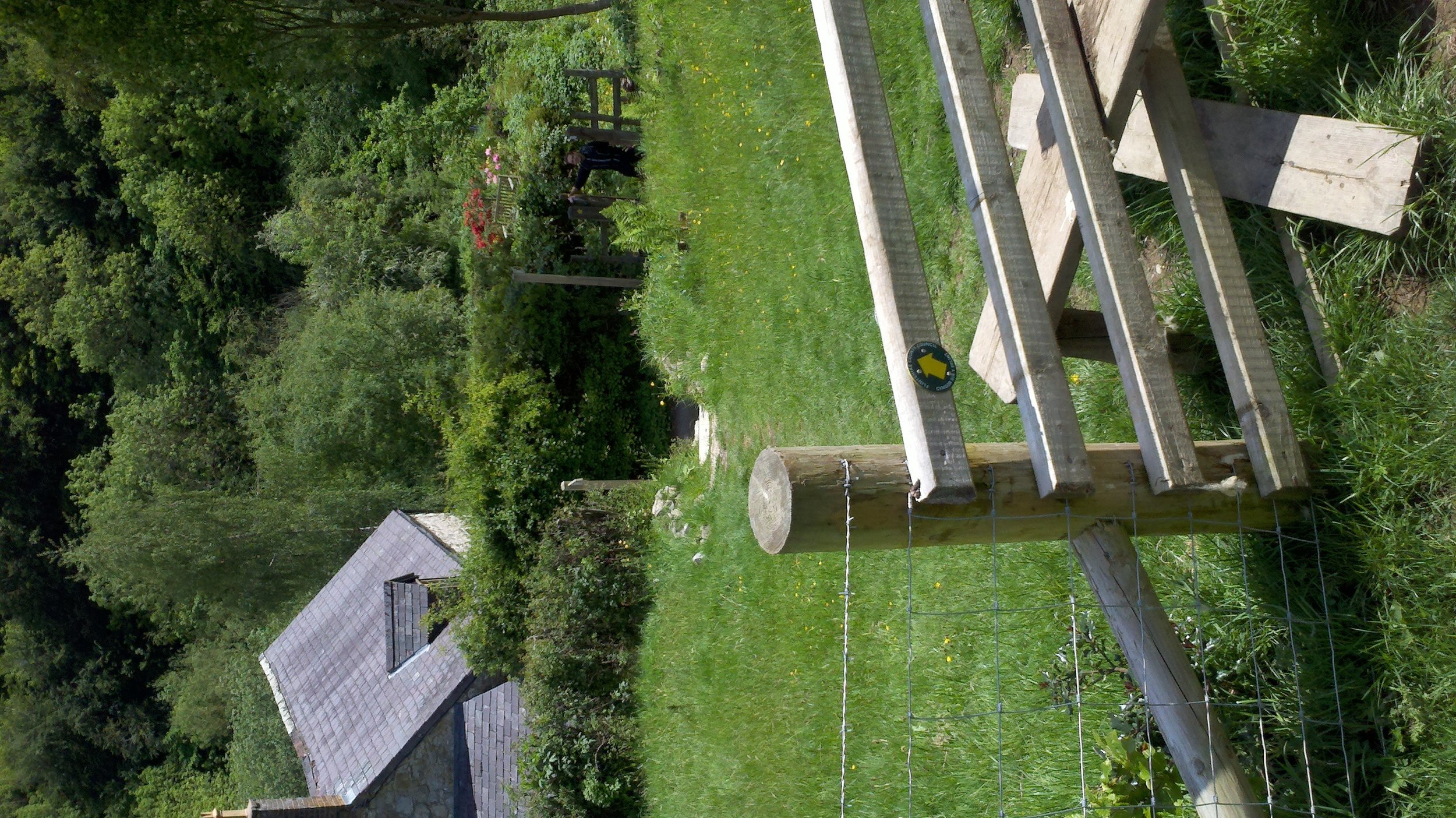
After several miles we turn right, climb over a stile and down into the valley below. The gate to left which can be raised is for people to walk their dogs through.
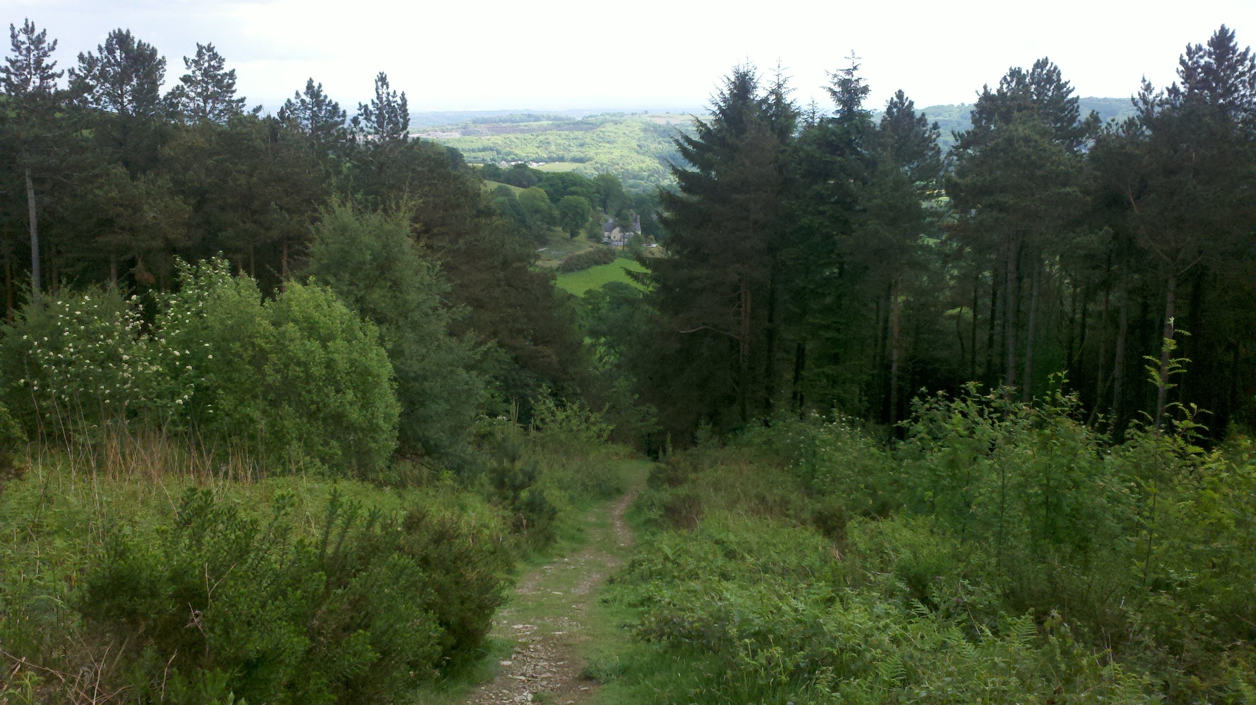
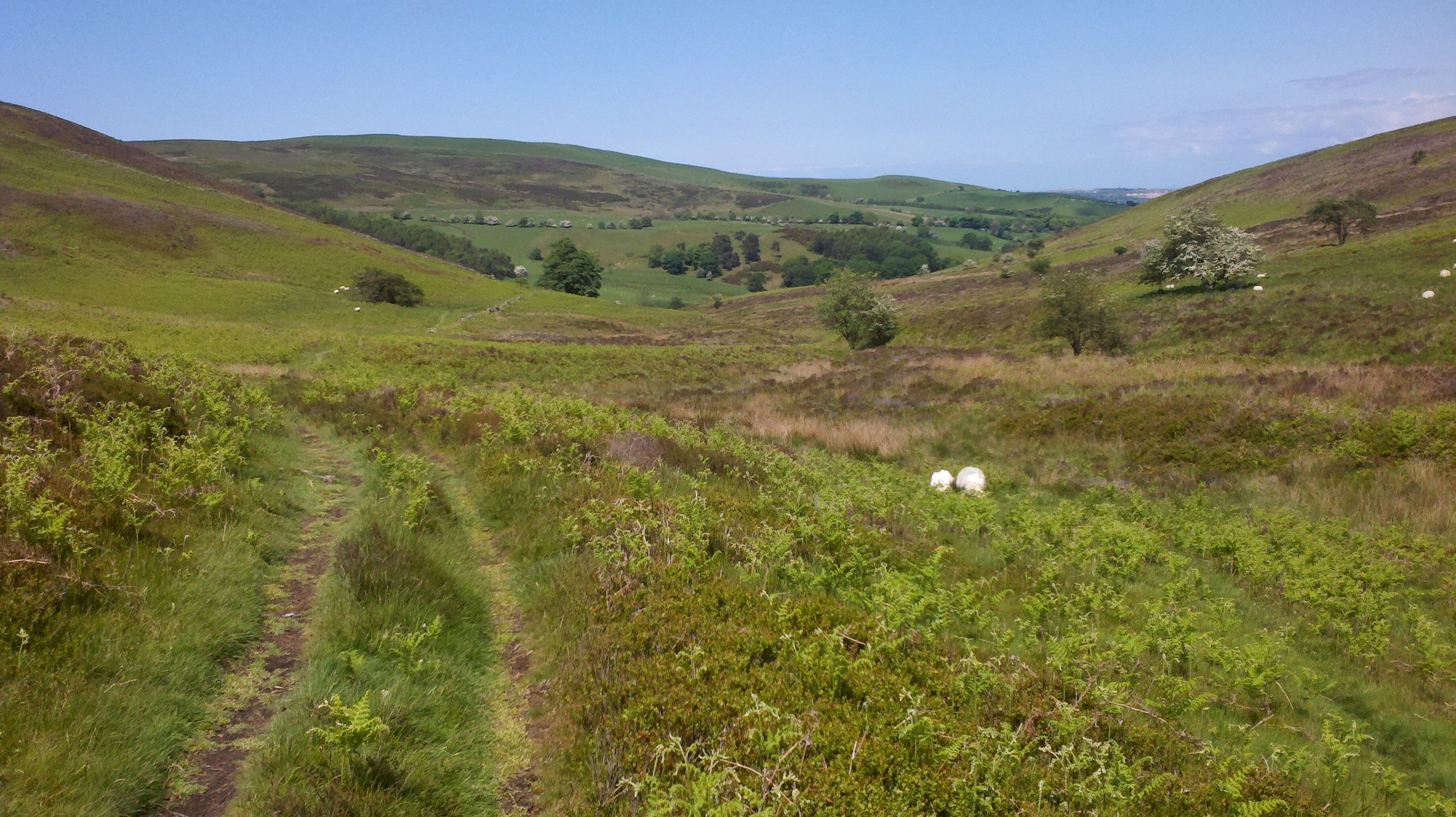
We gradually descend until we hit a level part in the valley below:
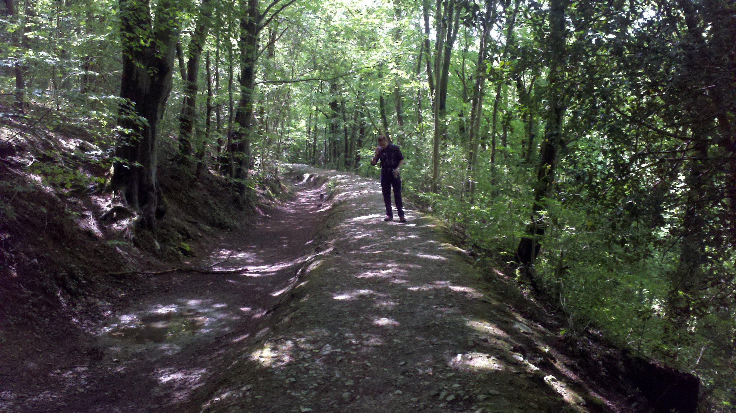
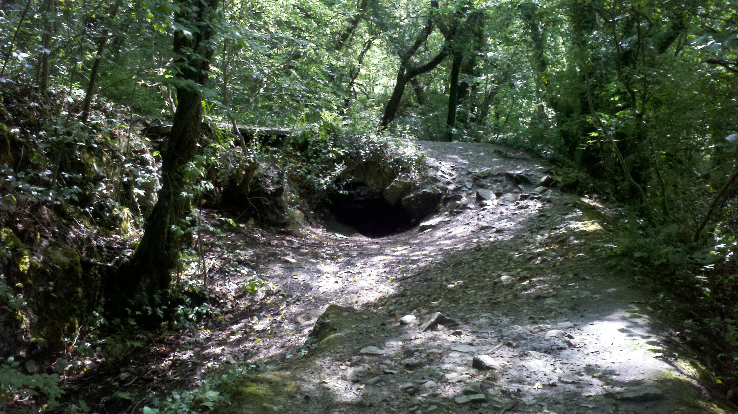
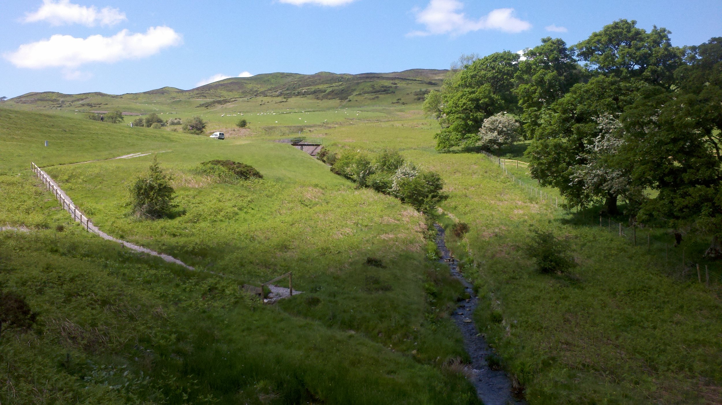
We continue until we descend again into a tree-filled broad gully. This has a stream running it, and running parallel above it, but still in this wooded gully, the aqueduct. This is known locally as 'the Leet' (or 'Lete'). I do not know why it has this name.
When we hit the Lete we turn left and walk along the gully alongside it for about two miles.
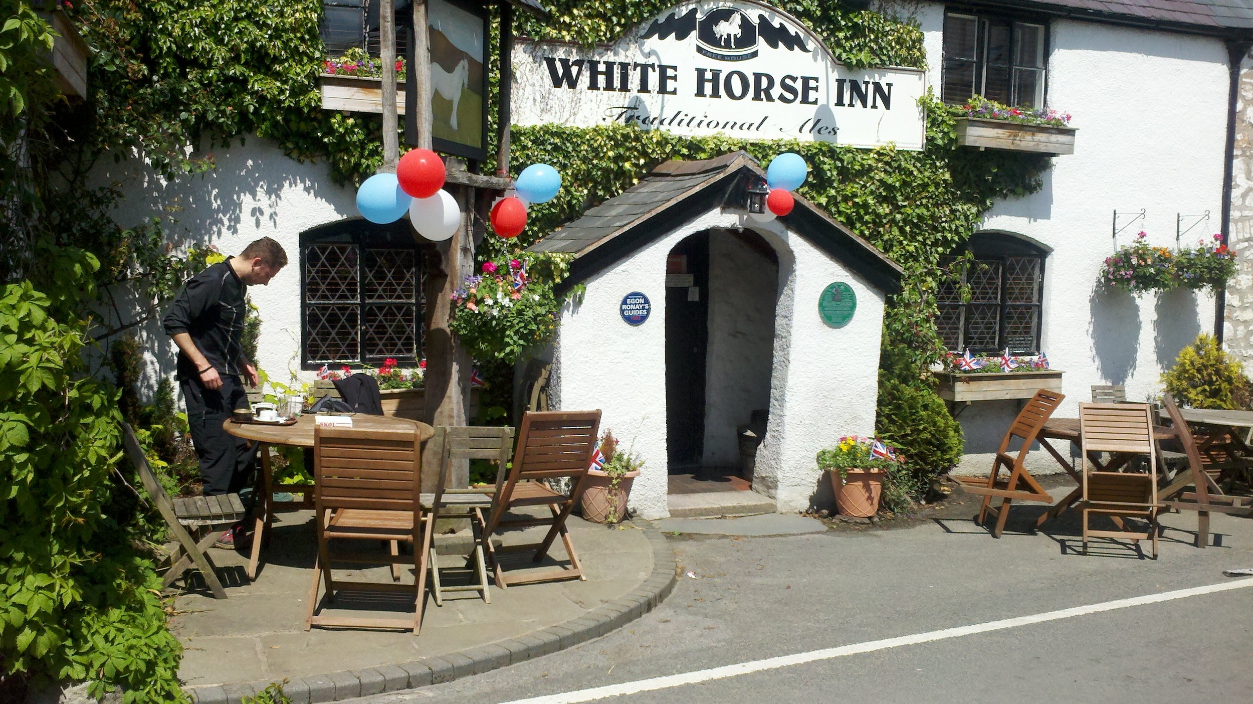
It looks like this for about another two miles until we emerge into farmland and little village called Cilcain. We stop at the pub for lunch. The red, white and blue balloons are there because this was the Monday after the recent Jubilee celebrations of Queen Elizabeth II's reign.
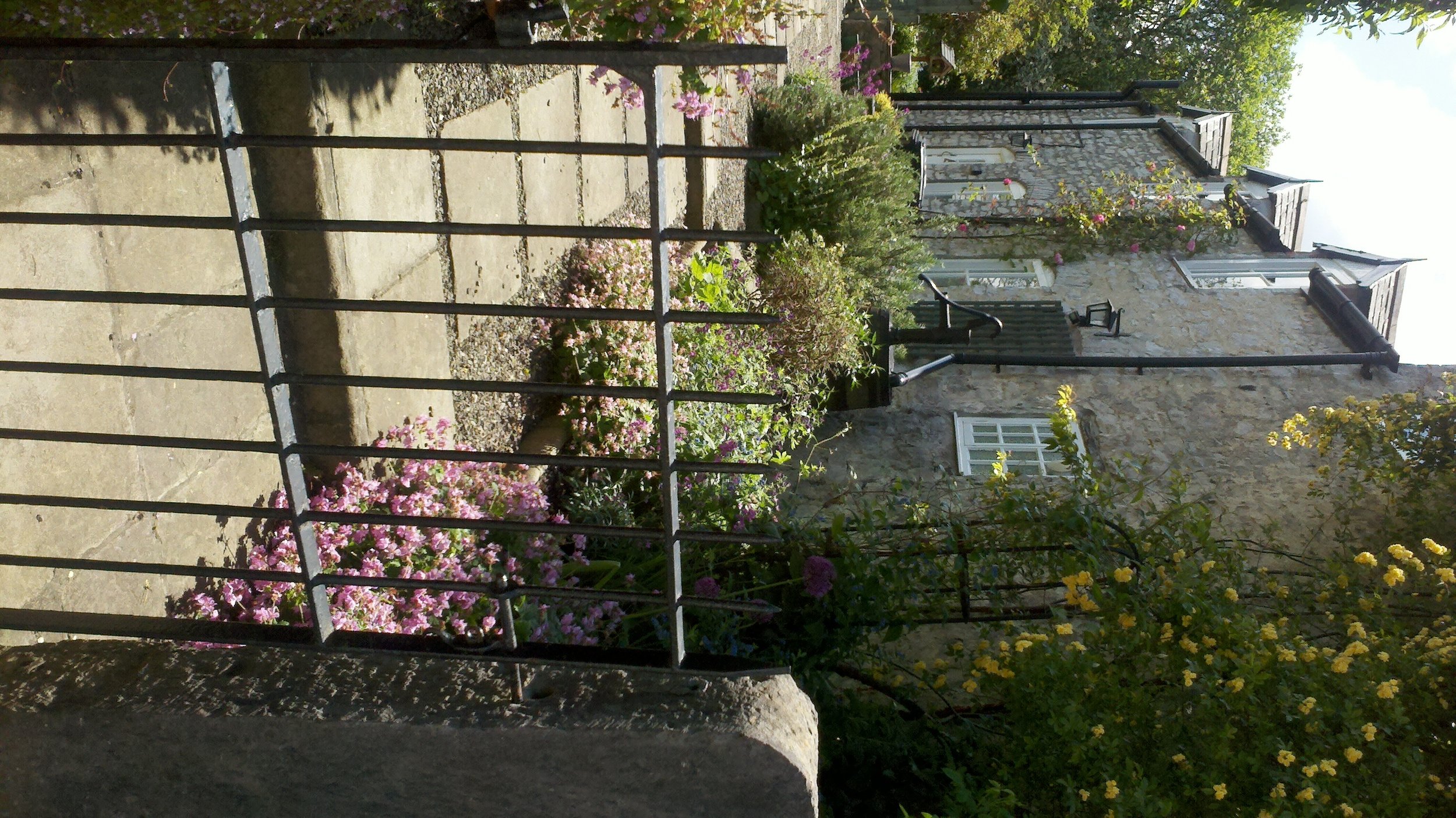
And we admire the cottage gardens across the road from where we sat eating sandwiches and drinking coffee.
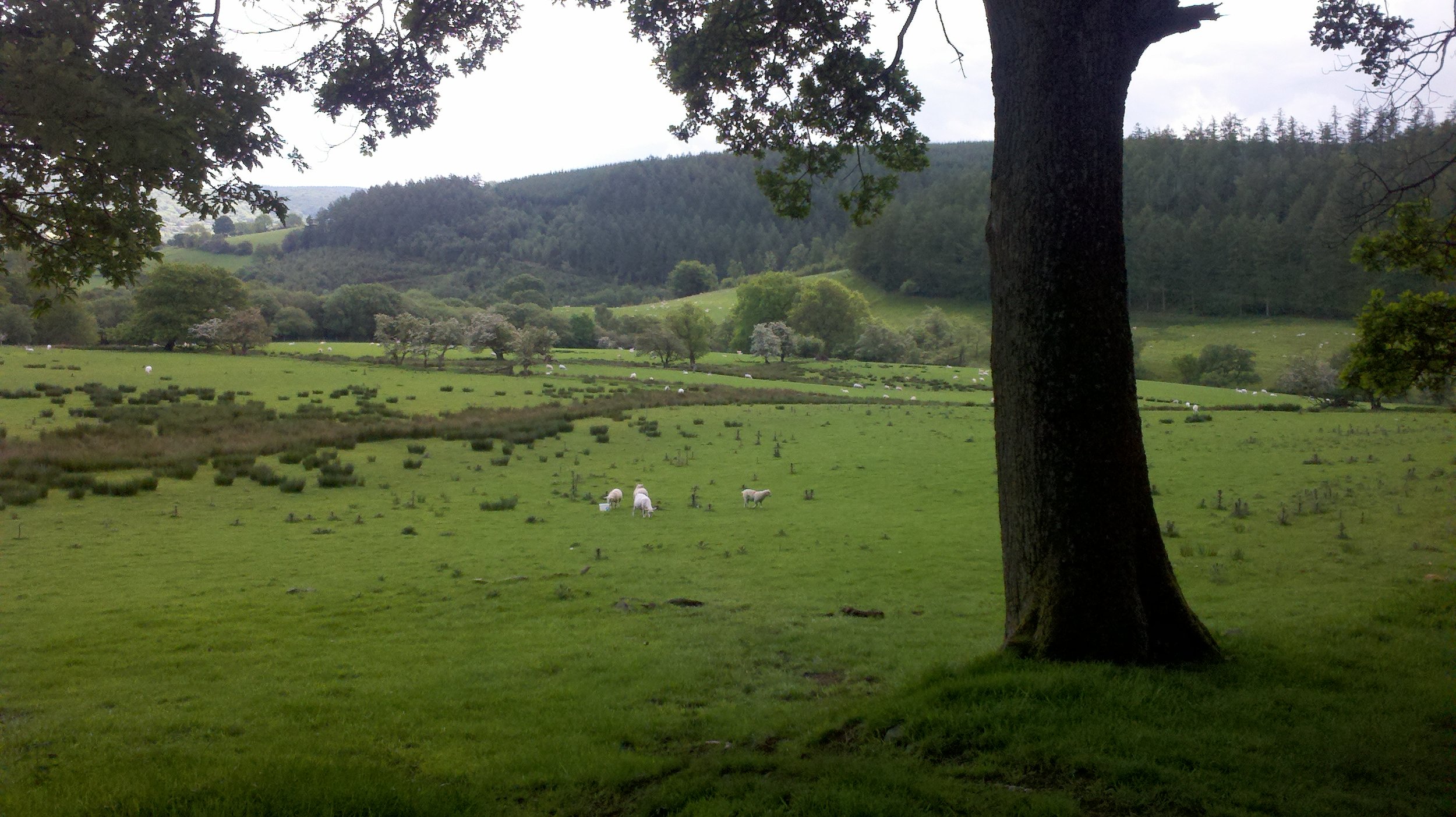
Then we headed out of the village back up to the ridge from where we first descended, through low hills first, past grazing sheep again, then on to the ridge itself, now several miles further along from where left it this morning.
And once at the ridge path, we turned left once more, to complete the final phase of the circular walk along the ridge and back to the car.
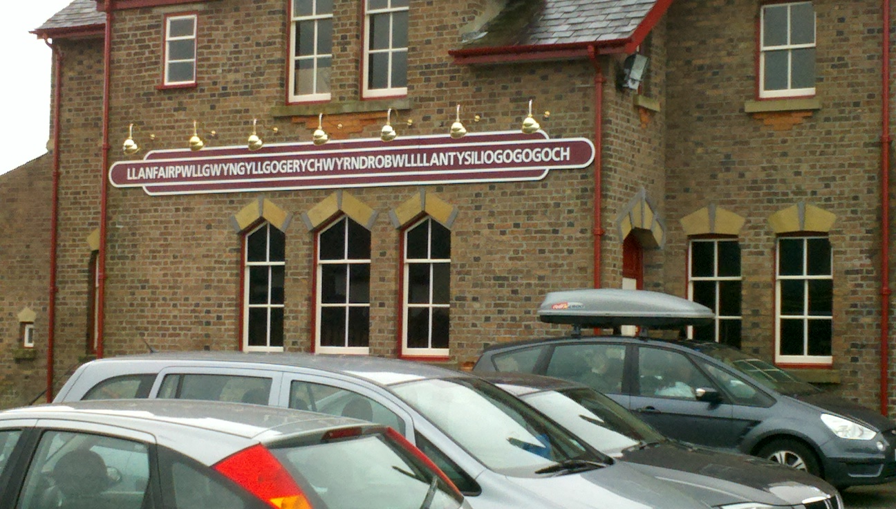
Footnote: if anyone who is not used to the spelling of Welsh words found the pronunciation of 'Clwyd' difficult to fathom, then have a go at this name of this place, also in north Wales (it really is a genuine place name):
It is the railway station in the town of 'Llanfair p g'. I grew up in England so wasn't native Welsh speaker at all. However, we used to enjoy learning and then reeling off the pronunciation as party trick. For the curious, this what it sounds like:
http://www.youtube.com/watch?v=taUJDmajoaY&feature=related

